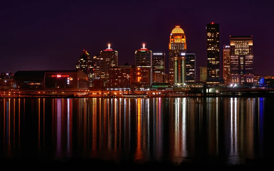
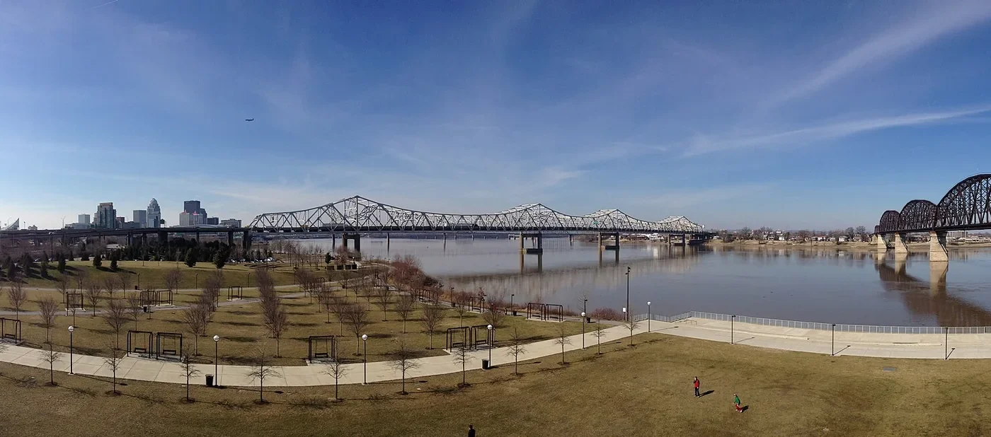
Louisville becomes easier to understand when you begin at the Ohio River. The long waterline establishes the city’s scale, while paths, lawns, bridges, and working river traffic show how movement continues to shape the waterfront.
Start with the horizon
Begin in Waterfront Park and take a few minutes to look in both directions before committing to a route. Downtown rises close to the bank, but the open water creates a useful visual pause from the denser street grid. Weather and river conditions can change the feel of the walk, so check local guidance before setting out.
Read the bridge as infrastructure
The Big Four Bridge was built as a railroad bridge and later adapted for pedestrian and bicycle use. That change of purpose is part of its appeal: it is not simply a viewpoint but a piece of transportation history turned into public space. The bridge connects Louisville Waterfront Park with Jeffersonville, Indiana.
A flexible route
- Walk a riverfront segment at ground level.
- Pause where the skyline opens across the water.
- Ascend to the bridge only if conditions and mobility needs make it appropriate.
- Decide whether to continue across or turn back for downtown.
Plan for comfort
Bring water in warm weather, allow for wind on the span, and confirm current access information. Cyclists and walkers share the route, so keep right and make predictable movements.
Pair it with the city
The waterfront works well before a downtown architecture walk, a museum visit, or a meal in a nearby district. Avoid overfilling the day. The point of beginning by the river is to give Louisville room before moving into its tighter urban rhythm.
Still comparing Sightseeing?
Ask for tour ideas, hotel suggestions, or a simple trip plan that combines both.